

ProductField app
The field app for recording site visits
In the PropelMapper mobile app for iOS and Android you talk, photograph and count as you go, signal or not, and every capture lands on the map where you took it.

A field walk with your phone
You pull up and the app has already picked the field you’re standing in. If neighboring fields share a gate, you can switch fields right there.
At the wet corner by the tile outlet you photograph the yellow plants and talk through what you see. Farther in, you type in a stand count. Each capture keeps its GPS point and time, so nothing needs sorting out later.
With no signal at the back of the field, keep going. Everything saves on the phone, and the maps you downloaded before you left come with you. The visit uploads when you’re back in range.
By the time you’re at your desk, PropelMapper has turned the walk into a draft report. Finish it in the mobile app or the web app, sign it and send it.
Yellow patch: what you said and what the report says
“Yellow patch by the tile outlet. The ground is wet here and the plants are yellow. I took a photo and marked this stop. We will look at this corner again after the soil results come back.”
Prairie Agronomy
Yellow patch
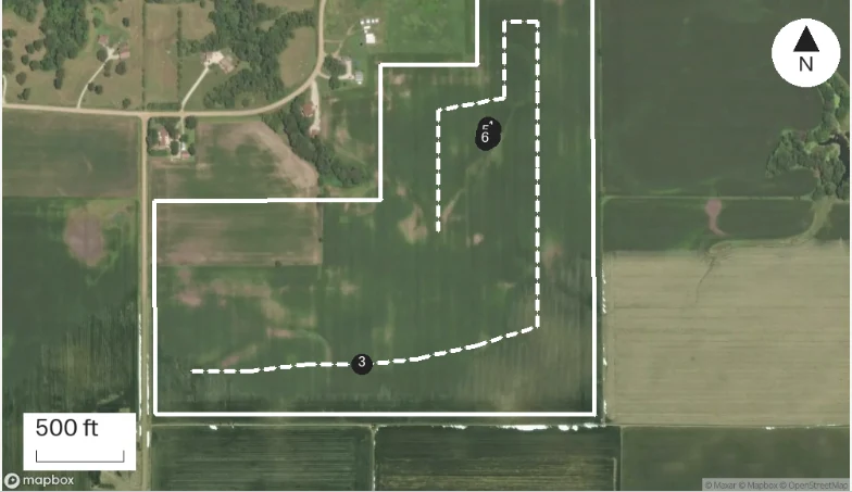
At a glance
The ground near the tile outlet was wet and the plants appeared yellow. A photo and location were saved at this stop.
This corner will be checked again after the soil results are available.
Observations
The ground near the tile outlet was wet and the plants appeared yellow. A photo and location were saved at this stop.
This corner will be checked again after the soil results are available.
After your review
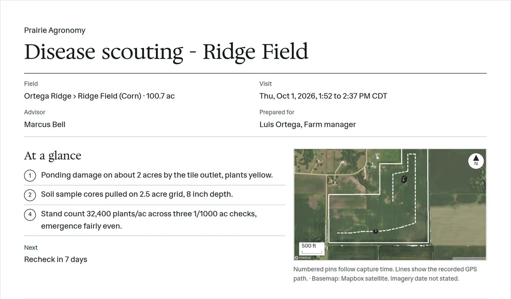
Example account: Prairie Agronomy
Capturing notes in any order
A field walk never follows the order of the report. You talk crop at the gate, stop for a photo at the outlet and take a count halfway in. The app lets each of those be its own capture inside one visit, so you can focus on the field instead of the form.
Voice notes are the fastest way to get it all down. Say what you see the way you would to the grower. The transcript sits under the recording. Use a typed note when talking isn’t an option.
For counts, record the raw number and what you counted: the row length, the row spacing, the units. The free plant-population calculator can turn it into plants per acre, and the original count stays with the visit so the number is always traceable.
Location, problem and detail photos
Take one photo to show where you are, one to show the problem and one for the detail that proves it. Each is pinned to the map where you took it.
Say a sentence about each photo while you’re standing there. “Yellowing on the lower leaves, wet ground, the whole low patch by the outlet” is worth more in the report than the picture alone.
Grower questions and promised follow-ups
Record the grower’s question and anything you promised: lab results, a second look, a call back. It stays with the visit, so a colleague covering the farm next time knows what was said.
Heading somewhere with no service? Download the farm’s maps before you go. Captures save on the phone either way, and the draft report is created once the visit uploads.
Download the field app


One field visit, screen by screen
-
Check the selected place and field boundary, then press Record when you are ready to speak.
-
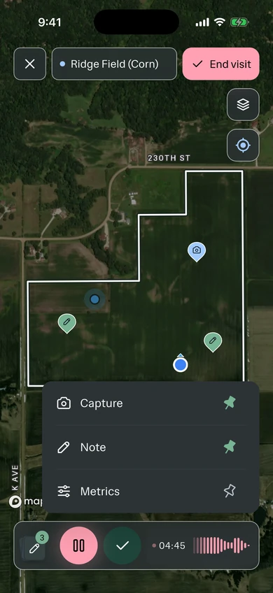
The record screen. One big button, a running timer and the waveform, so you know it heard you while you look at the crop instead of the phone.
-
Everything else is one tap away while the recording keeps running: a photo, a typed note, a reading, map layers and any checks for the visit.
-
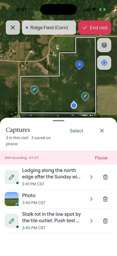
Every capture lands in the visit as you go, with its time. Each one shows Synced once it reaches the office.
-
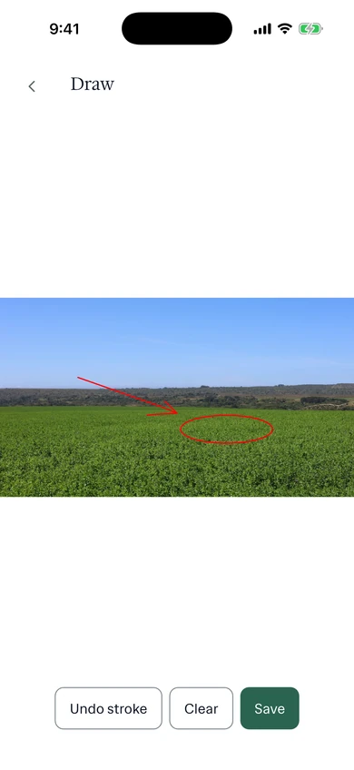
Circle the problem on the photo. The grower sees exactly which corner of the field you meant.
-
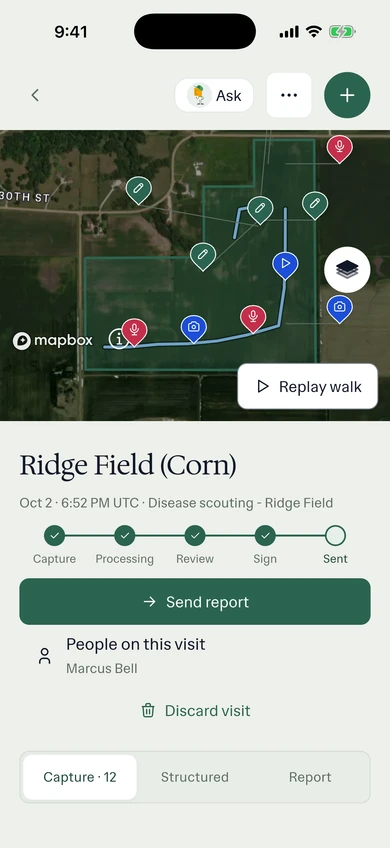
End the visit and PropelMapper starts the report from your captures. Review it on the phone or at the desk.
-
The report opens with the reviewed findings and the visit map; the advisor’s dated approval closes it.
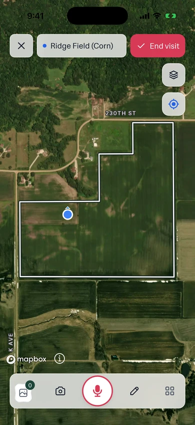
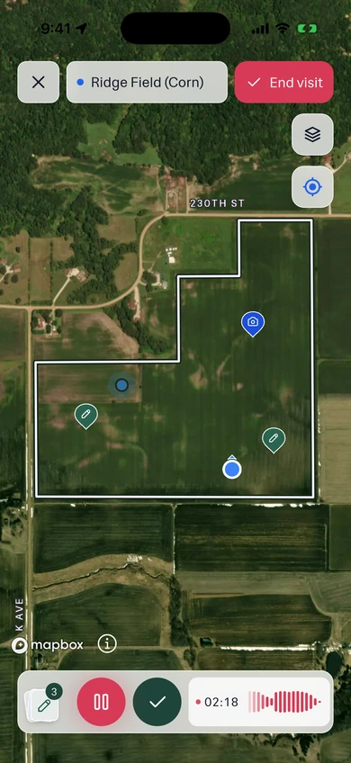
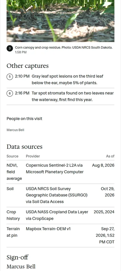
Example account: Prairie Agronomy
In the app
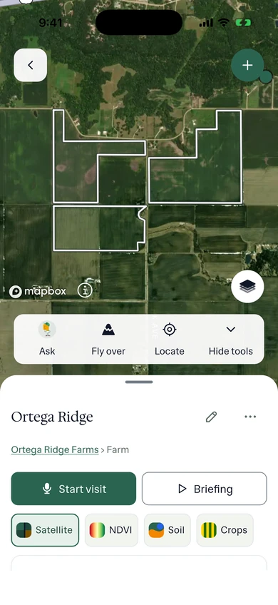
Example account: Prairie Agronomy
Formats, sources and availability
- Platforms
- iOS and Android mobile app for the visit, web app at the desk
- Notes you can make
- Voice, photos, typed notes, entered readings and forms, with GPS
- Location
- GPS on every capture, and the walk recorded as you go
- Boundaries
- Draw or walk a new place’s boundary on the phone; import boundary files in the web app
- No signal
- Voice, photos, notes, readings, forms, GPS and the walk save offline, and uploads resume after reconnection
- Contacts and tasks
- Available on the phone and in the browser
Questions about the field app
What works without cell service?
Voice notes, photos, typed notes, readings and GPS save on the phone. Upload, transcription, new report drafting and sending need a connection. A draft already downloaded to the phone can be reviewed and signed offline.
Who it’s for
Built for agronomists, crop consultants and farm managers who spend the day walking fields, and for the colleague who covers the farm next time and needs to see what you saw.